Maps of Hillsboro, Iowa
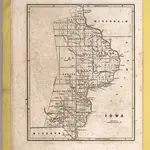 1842|Breese, S.1:900 000
 1842
1842
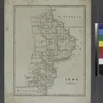
 1869|Chapman, Silas1:650 000
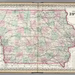 1874|Colton, G.W.1:950 000
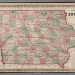 1869|Colton, G.W.1:950 000
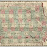
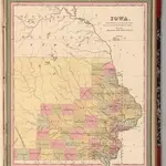 1849|Mitchell, Samuel Augustus1:1 400 000
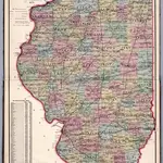 1871|Thompson and Everts1:887 040
Old maps of Hillsboro, Iowa
Discover the past of Hillsboro, Iowa on historical maps
Old maps of Hillsboro, Iowa
Discover the past of Hillsboro, Iowa on historical maps
Looking for a Google Maps API Alternative?