Project
Community
News
My App
My maps
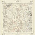
300 Alresford (Outline)
1895
Ordnance Survey Office
1:63k
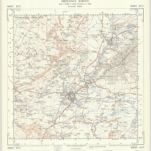
Blendworth
1806
Crocker, Edmund
Alresford (Hills) - OS One-Inch Revised New Series
1893
Ordnance Survey
1:63k
Alresford (Outline) - OS One-Inch Revised New Series
1893
Ordnance Survey
1:63k
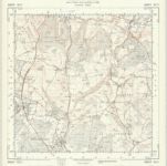
300 Alresford (Hills)
1895
Ordnance Survey Office
1:63k
Alresford 7
1808
Alton
1808
SU73 - OS 1:25,000 Provisional Series Map
1949
Ordnance Survey
1:25k
SU72 - OS 1:25,000 Provisional Series Map
1938
Ordnance Survey
1:25k
SU71 - OS 1:25,000 Provisional Series Map
1938
Ordnance Survey
1:25k
Geschichte
Old maps of East Hampshire
Discover the past of East Hampshire on historical maps
Old maps of East Hampshire
Discover the past of East Hampshire on historical maps
Explore Maps
Discover History
Parent places
Hampshire
Related places
City
Alton, Hampshire
City
Beech, Hampshire
City
Bentley, Hampshire
City
Bentworth
City
Binsted
City
Buriton
City
Chawton
City
Clanfield, Hampshire
City
Colemore
City
East Meon
City
East Tisted
City
Farringdon, Hampshire
City
Four Marks
City
Froxfield, Hampshire
City
Froyle
City
Grayshott
City
Greatham, Hampshire
City
Hawkley
City
Headley, East Hampshire
City
Horndean
City
Kingsley, Hampshire
City
Langrish
City
Lasham
City
Lindford, Hampshire
City
Newton Valence
City
Petersfield
City
Ropley
City
Rowland's Castle
City
Selborne
City
Shalden
City
Sheet, Hampshire
City
Steep, Hampshire
City
Stroud, Hampshire
City
West Tisted
City
Whitehill, Hampshire
City
Wield
City
Worldham
Places
Liphook
Places
Liss, Hampshire
Places
Medstead
Places
Woolbeding